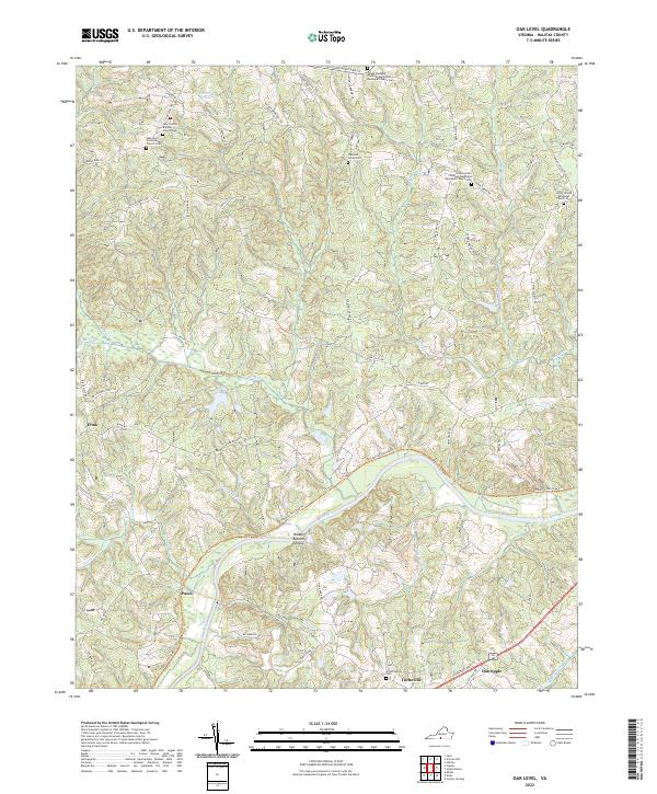
2022 Map of Oak Level
USGS Topo · Published 2022About this map
The Dan River carves a winding path through this Halifax County landscape, where the agricultural heritage of Southside Virginia is preserved in the winding Tobacco Heritage Trl. The map details a deeply rooted community structure defined by its numerous rural churches and family cemeteries, such as the Oak Level Presbyterian Church Cem and the Mount Pleasant Christian Methodist Episcopal Church Cem.
Find a feature on this map
67 named features on this map. Tap any name to fly to it.
Don’t see what you’re looking for? This feature index may not catch every label — zoom into the map to look around manually.
Map Details
Editions of this 2022 Oak Level Map
This is the sole edition of this map. No revisions or reprints were ever made.
Historical Maps of Danripple Through Time
15 maps found

1954 Riceville
Halifax County, VA
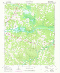
1968 Alton
Halifax County, VA
1968 Buffalo Springs
Halifax County, VA
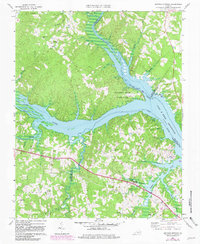
1968 Conner Lake
Halifax County, VA
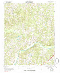
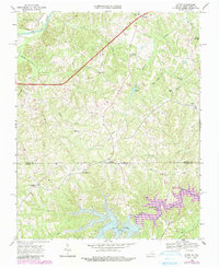
1968 Oak Level
Halifax County, VA
1968 Omega
Halifax County, VA
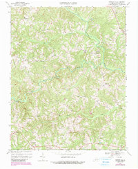
1968 Republican Grove
Halifax County, VA
1968 Vernon Hill
Halifax County, VA

2022 Alton
Halifax County, VA
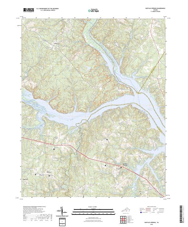
2022 Buffalo Springs
Halifax County, VA
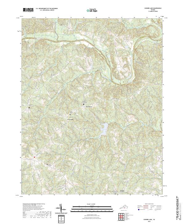
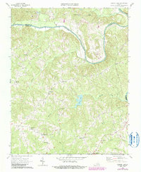
2022 Conner Lake
Halifax County, VA
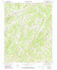
2022 Oak Level
Halifax County, VA
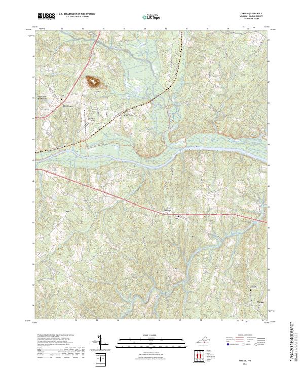
2022 Omega
Halifax County, VA
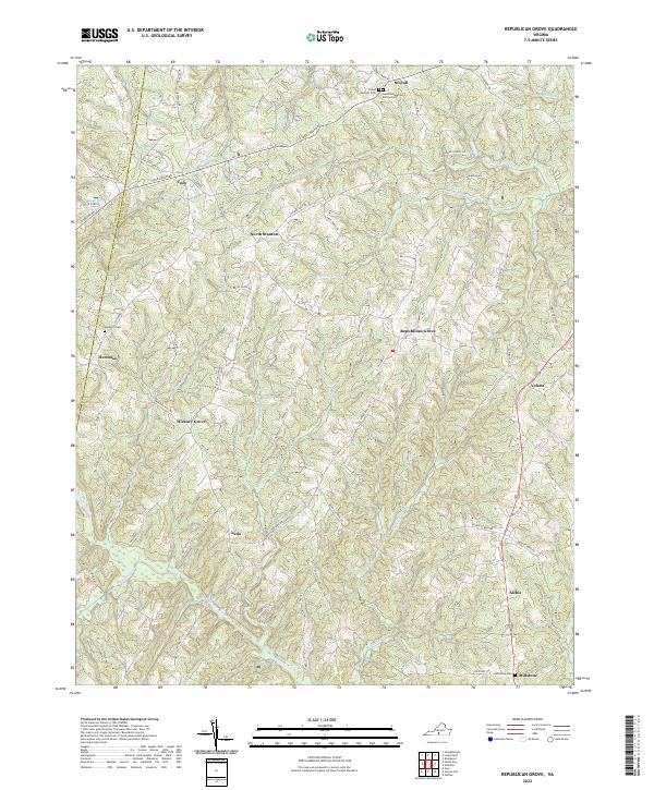
2022 Republican Grove
Halifax County, VA
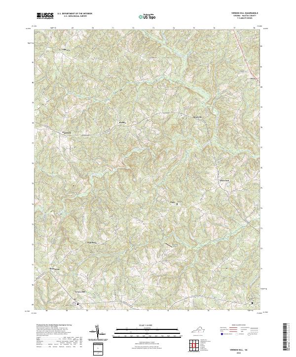
2022 Vernon Hill
Halifax County, VA