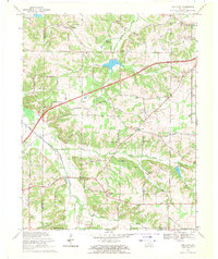
1969 Map of Oak Level
USGS Topo · Published 1971About this map
Agricultural communities and rural hamlets define the landscape of southwestern Marshall County in the late 1960s. The settlement of Oak Level serves as a local hub, situated near the headwaters of Stillhouse Branch and Middle Fork Creek. This era shows a transition in regional mobility with the Purchase Parkway cutting a modern diagonal through the older network of family-named roads and river crossings. Researchers will find numerous country churches and burial grounds that anchor the local genealogy, including Vanzora Ch, Soldier Creek Ch, and the Dowdy Cemetery. The terrain is shaped by the West Fork Clarks River and its many tributaries like Soldier Creek and Duncan Creek, where the land rises into named elevations such as Potato Hill and Waller Hill. Local industry is represented by scattered resource extraction, notably a Quarry and Gravel Pit near the Graves County line.
Find a feature on this map
55 named features on this map. Tap any name to fly to it.
Don’t see what you’re looking for? This feature index may not catch every label — zoom into the map to look around manually.
Map Details
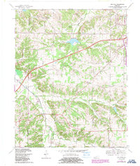
Editions of this 1969 Oak Level Map
2 editions found
Other maps of this area

1936 · Farmington
USGS Topo · 1:24,000

1936 · Oak Level
USGS Topo · 1:24,000

1936 · Elva
USGS Topo · 1:24,000

1936 · Hardin
USGS Topo · 1:24,000

1936 · Symsonia
USGS Topo · 1:24,000

1936 · Benton
USGS Topo · 1:48,000

1936 · Westplains
USGS Topo · 1:24,000

1936 · Dexter
USGS Topo · 1:24,000

1936 · Kirksey
USGS Topo · 1:24,000
1936 · Briensburg
USGS Topo · 1:24,000