
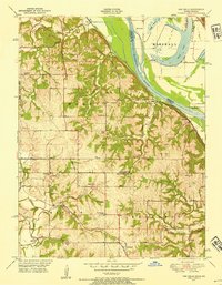
1948 Map of Oak Mills
USGS Topo · Published 1954About this map
Missouri River bottomlands and the rugged bluffs of the Walnut and Kickapoo townships define this 1948 landscape. The area is anchored by the river-side settlement of Oak Mills and the inland village of Lowemont, reflecting a rural economy tied to both water and rail. The Atchison Topeka and Santa Fe railroad cuts across the southern portion of the sheet, providing a vital link for the agricultural community.
Find a feature on this map
43 named features on this map. Tap any name to fly to it.
Don’t see what you’re looking for? This feature index may not catch every label — zoom into the map to look around manually.
Map Details
Editions of this 1948 Oak Mills Map
2 editions found
Other maps of this area

1885 · Atchison
USGS Topo · 1:125,000

1886 · Oskaloosa
USGS Topo · 1:125,000

1888 · Oskaloosa
USGS Topo · 1:125,000

1888 · Atchison
USGS Topo · 1:125,000

1890 · Kansas City
USGS Topo · 1:125,000

1893 · Atchison
USGS Topo · 1:125,000

1894 · Kansas City
USGS Topo · 1:125,000

1894 · Oskaloosa
USGS Topo · 1:125,000

1910 · Leavenworth
USGS Topo · 1:62,500

1926 · Atchison
USGS Topo · 1:62,500