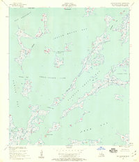
1955 Map of Oak Mound Bayou
USGS Topo · Published 1959About this map
Oak Mound Bayou serves as the namesake for this intricate aquatic landscape within St. Bernard Parish, where a labyrinth of wetlands meets the Gulf waters. The 1955 survey documents a complex network of coastal features including Shell Island Lake and Fishing Smack Bay, capturing the deltaic structure before decades of coastal change. The map identifies specific navigable arteries and hazards such as Dutchman Pass, Hell Pass Coast, and Catfish Pass, which were essential for local fishers and trappers of the era. Landforms like Raccoon Island and Anderson Point provide fixed markers in an otherwise fluid environment of marshes and mudflats. The inclusion of Deadmans Bayou and Live Oak Bayou offers a glimpse into the local nomenclature and landmarks used by generations of residents navigating these expansive Louisiana wetlands.
Find a feature on this map
23 named features on this map. Tap any name to fly to it.
Don’t see what you’re looking for? This feature index may not catch every label — zoom into the map to look around manually.
Map Details
Editions of this 1955 Oak Mound Bayou Map
2 editions found
Other maps of this area

1893 · Cat Island
USGS Topo · 1:62,500

1893 · Chandeleur
USGS Topo · 1:62,500

1893 · Toulme
USGS Topo · 1:62,500

1895 · Bodreau
USGS Topo · 1:62,500

1935 · Morgan Harbor
USGS Topo · 1:31,680

1935 · Mitchell Keys
USGS Topo · 1:31,680

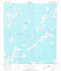
1946 · Oak Mound Bayou
USGS Topo · 1:31,680

1946 · Lake Eugenie
USGS Topo · 1:31,680

1946 · Malheureux Point
USGS Topo · 1:31,680
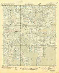
1947 · Lake Eloi
USGS Topo · 1:31,680