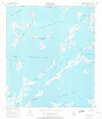
1955 Map of Oak Mound Bayou
USGS Topo · Published 1972About this map
Indian Mound Bay and the surrounding marshlands of St. Bernard Parish define this coastal landscape as it was mapped in the early 1950s. The region is a complex network of estuarine waters and low-lying landforms, including the Grass Islands and Little Mud Grass Islands. Navigation through this watery maze is traced via named channels such as Dutchman Pass, Hell Pass, and Fishing Smack SW Pass, which connect larger bodies like Shell Island Lake and Drum Bay.
Find a feature on this map
23 named features on this map. Tap any name to fly to it.
Don’t see what you’re looking for? This feature index may not catch every label — zoom into the map to look around manually.
Map Details
Editions of this 1955 Oak Mound Bayou Map
2 editions found
Other maps of this area

1893 · Cat Island
USGS Topo · 1:62,500

1893 · Chandeleur
USGS Topo · 1:62,500

1893 · Toulme
USGS Topo · 1:62,500

1895 · Bodreau
USGS Topo · 1:62,500

1935 · Morgan Harbor
USGS Topo · 1:31,680

1935 · Mitchell Keys
USGS Topo · 1:31,680

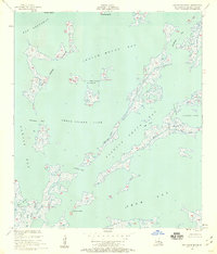
1946 · Oak Mound Bayou
USGS Topo · 1:31,680

1946 · Lake Eugenie
USGS Topo · 1:31,680

1946 · Malheureux Point
USGS Topo · 1:31,680
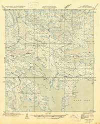
1947 · Lake Eloi
USGS Topo · 1:31,680