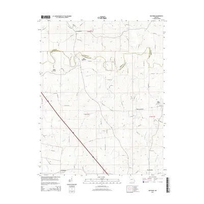
2015 Map of Oak Ridge
USGS Topo · Published 2015About this map
Old Appleton and the winding course of Apple Creek form the central axis of this landscape at the boundary of Perry and Cape Girardeau counties. The area is defined by a dense network of country roads and small, historic settlements that reflect the agricultural and communal heritage of the Missouri Bootheel's northern reaches. From the village of Uniontown in the north to Oak Ridge and Pocahontas in the south, the map documents the placement of homesteads and church-centered communities like Shawneetown and New Wells.
Find a feature on this map
79 named features on this map. Tap any name to fly to it.
Don’t see what you’re looking for? This feature index may not catch every label — zoom into the map to look around manually.
Map Details
Editions of this 2015 Oak Ridge Map
This is the sole edition of this map. No revisions or reprints were ever made.
Other maps of this area
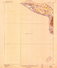
1918 · Altenburg
USGS Topo · 1:62,500
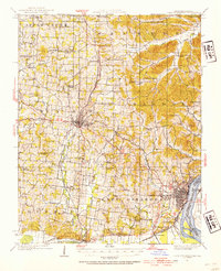
1922 · Cape Girardeau
USGS Topo · 1:62,500
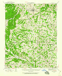
1923 · Perryville
USGS Topo · 1:62,500
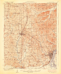
1924 · Cape Girardeau
USGS Topo · 1:62,500
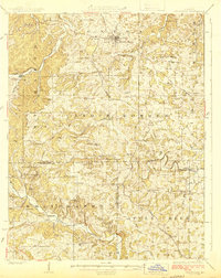
1924 · Perryville
USGS Topo · 1:62,500
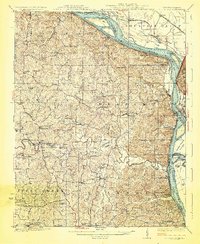
1925 · Altenburg
USGS Topo · 1:62,500
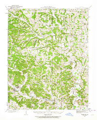
1933 · Marble Hill
USGS Topo · 1:62,500
1937 · Marble Hill
USGS Topo · 1:62,500
1947 · Crosstown
USGS Topo · 1:24,000
1947 · Oak Ridge
USGS Topo · 1:24,000