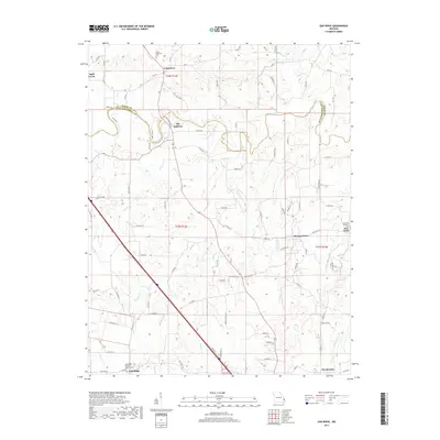
2017 Map of Oak Ridge
USGS Topo · Published 2017About this map
The boundary between Perry and Cape Girardeau counties cuts across this landscape of creek-carved ridges and rural settlements. Uniontown and Old Appleton sit at the northern edge, where Apple Creek defines the county line. The terrain is a network of watercourses, including Hughes Cr, Buckeye Cr, and the distinctive Muddy Shawnee Cr and Blue Shawnee Cr systems to the east. These valley-and-ridge patterns influenced the placement of the area's earliest roads and farms.
Find a feature on this map
92 named features on this map. Tap any name to fly to it.
Don’t see what you’re looking for? This feature index may not catch every label — zoom into the map to look around manually.
Map Details
Editions of this 2017 Oak Ridge Map
This is the sole edition of this map. No revisions or reprints were ever made.
Other maps of this area

1918 · Altenburg
USGS Topo · 1:62,500

1922 · Cape Girardeau
USGS Topo · 1:62,500

1923 · Perryville
USGS Topo · 1:62,500

1924 · Cape Girardeau
USGS Topo · 1:62,500

1924 · Perryville
USGS Topo · 1:62,500

1925 · Altenburg
USGS Topo · 1:62,500

1933 · Marble Hill
USGS Topo · 1:62,500

1937 · Marble Hill
USGS Topo · 1:62,500

1947 · Crosstown
USGS Topo · 1:24,000

1947 · Oak Ridge
USGS Topo · 1:24,000