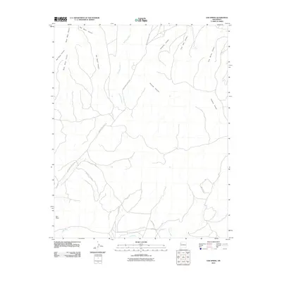
2010 Map of Oak Spring
USGS Topo · Published 2010About this map
Oak Spring and Rock Spring provide critical water points in this arid New Mexico landscape, which is defined by a complex network of drainage systems and high desert mesas. The terrain is deeply incised by major corridors like Black Mesa Canyon, Red Mesa Canyon, and the extensive Pinetree Canyon. This area, managed under the Fort Defiance Agency, shows a infrastructure of seasonal watercourses such as Soft Water Wash and the southern flow of the Puerco River. Transportation through this geography is marked by Indian Service Route 7049, which navigates the elevations between Ram Mesa and the numerous coal-associated landforms like Coal Well Canyon. The presence of Waterfall Rd and Rainbow Trl suggests localized access to the varied topographic features that characterize the region's northern reaches.
Find a feature on this map
18 named features on this map. Tap any name to fly to it.
Don’t see what you’re looking for? This feature index may not catch every label — zoom into the map to look around manually.
Map Details
Editions of this 2010 Oak Spring Map
This is the sole edition of this map. No revisions or reprints were ever made.
Other maps of this area
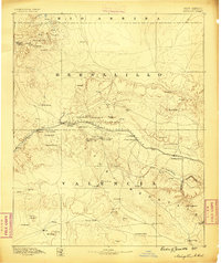
1886 · Wingate
USGS Topo · 1:250,000
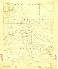
1892 · Wingate
USGS Topo · 1:250,000

1954 · Gallup
USGS Topo · 1:250,000

1958 · Gallup
USGS Topo · 1:250,000

1959 · Gallup
USGS Topo · 1:250,000
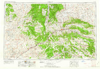
1962 · Gallup
USGS Topo · 1:250,000
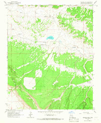
1963 · Mariano Lake
USGS Topo · 1:24,000
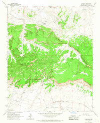
1963 · Pinedale
USGS Topo · 1:24,000
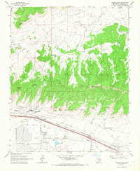
1963 · Church Rock
USGS Topo · 1:24,000
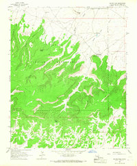
1963 · Dalton Pass
USGS Topo · 1:24,000