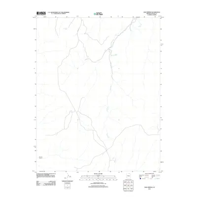
2011 Map of Oak Springs
USGS Topo · Published 2011About this map
Piute Creek serves as the primary hydrological spine of this Navajo County landscape, cutting through the high desert terrain of the Oak Springs quadrangle. The 2011 survey reveals an arid environment where water sources are vital landmarks for navigation and survival. These scattered points of reliability include Tse Ya Toe Spring in the northwest and Cliff Spring to the south. The presence of Upper Crossing Spring along the creek suggests a historical corridor for movement across the drainage. Human infrastructure is limited to primitive routes such as Indian Rte 16, which winds through the northern section, and a few unnamed roads that navigate the dramatic topography near Far End Canyon.
Find a feature on this map
7 named features on this map. Tap any name to fly to it.
Don’t see what you’re looking for? This feature index may not catch every label — zoom into the map to look around manually.
Map Details
Editions of this 2011 Oak Springs Map
This is the sole edition of this map. No revisions or reprints were ever made.
Other maps of this area

1883 · Marsh Pass
USGS Topo · 1:250,000

1892 · Marsh Pass
USGS Topo · 1:250,000
1952 · Shato Spring 1 NE
USGS Topo · 1:24,000

1956 · Marble Canyon
USGS Topo · 1:250,000

1959 · Marble Canyon
USGS Topo · 1:250,000

1961 · Marble Canyon
USGS Topo · 1:250,000
1970 · Cattle Canyon
USGS Topo · 1:24,000
1970 · Tall Mountain NW
USGS Topo · 1:24,000
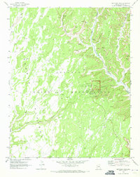
1970 · Betatakin Ruin
USGS Topo · 1:24,000
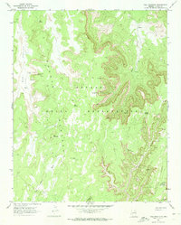
1970 · Tall Mountain
USGS Topo · 1:24,000