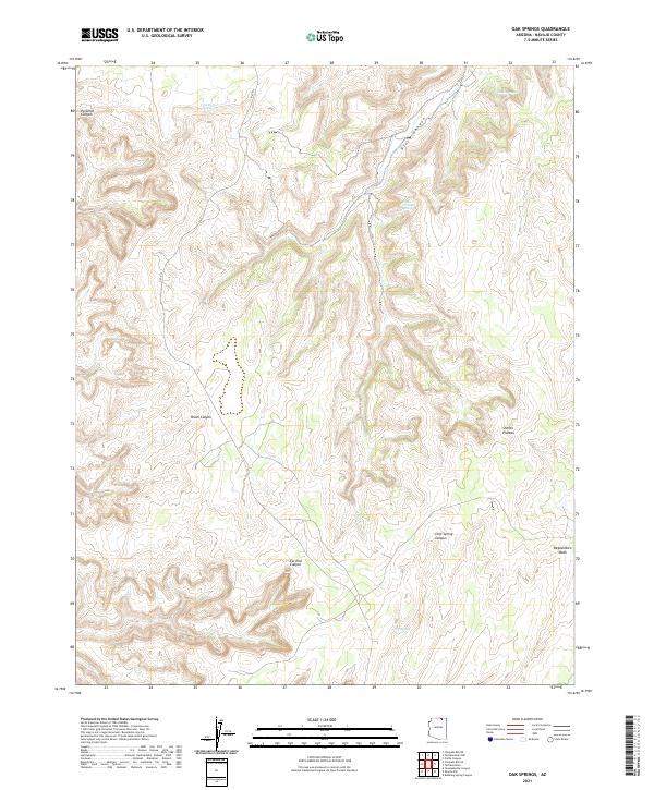
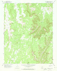
2021 Map of Oak Springs
USGS Topo · Published 2021About this map
Piute Canyon dominates this Navajo County landscape, carving a deep path through the high desert of the Colorado Plateau. The terrain is defined by a series of dramatic drainages and named breaks, including Pyramid Canyon in the northwest and the winding Peach Canyon to the west. Evidence of the vital importance of water in this arid region is seen in the scattered reliable sources, such as Tse Ya Toe Spring and Oak Springs, which have long served travelers and livestock across these sections of the Navajo Nation.
Find a feature on this map
16 named features on this map. Tap any name to fly to it.
Don’t see what you’re looking for? This feature index may not catch every label — zoom into the map to look around manually.
Map Details
Editions of this 2021 Oak Springs Map
This is the sole edition of this map. No revisions or reprints were ever made.
Other maps of this area

1883 · Marsh Pass
USGS Topo · 1:250,000

1892 · Marsh Pass
USGS Topo · 1:250,000

1952 · Shato Spring 1 NE
USGS Topo · 1:24,000

1956 · Marble Canyon
USGS Topo · 1:250,000

1959 · Marble Canyon
USGS Topo · 1:250,000

1961 · Marble Canyon
USGS Topo · 1:250,000
1970 · Cattle Canyon
USGS Topo · 1:24,000
1970 · Tall Mountain NW
USGS Topo · 1:24,000
1970 · Betatakin Ruin
USGS Topo · 1:24,000
1970 · Tall Mountain
USGS Topo · 1:24,000