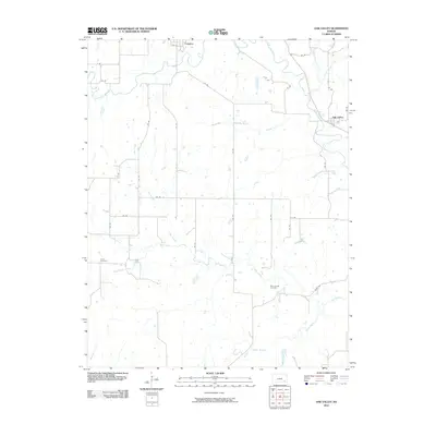
2010 Map of Oak Valley
USGS Topo · Published 2010About this map
The Elk River winds through the northern reaches of this Kansas landscape, connecting the communities of Longton and Oak Valley. This portion of Elk County is defined by a dense network of watercourses, including Bloody Run and Pan Creek, which contribute to a complex drainage system across the rural terrain. The mapping reveals a grid-like organization of county roads, such as Union Rd and Rd 26, that link outlying homesteads and agricultural tracts.
Find a feature on this map
35 named features on this map. Tap any name to fly to it.
Don’t see what you’re looking for? This feature index may not catch every label — zoom into the map to look around manually.
Map Details
Editions of this 2010 Oak Valley Map
This is the sole edition of this map. No revisions or reprints were ever made.
Other maps of this area

1885 · Sedan
USGS Topo · 1:125,000

1886 · Independence
USGS Topo · 1:125,000

1889 · Sedan
USGS Topo · 1:125,000

1894 · Independence
USGS Topo · 1:125,000

1905 · Independence
USGS Topo · 1:125,000

1947 · Joplin
USGS Topo · 1:250,000

1949 · Joplin
USGS Topo · 1:250,000

1954 · Joplin
USGS Topo · 1:250,000

1955 · Wichita
USGS Topo · 1:250,000

1958 · Wichita
USGS Topo · 1:250,000