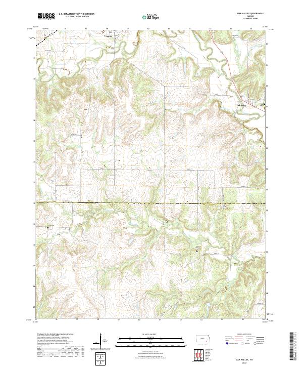
2022 Map of Oak Valley
USGS Topo · Published 2022About this map
The Elk River winds across this section of southeastern Kansas, defining a landscape of deep drainage and high ridges where the Elk Co Chautauqua Co line marks the southern boundary. The small settlement of Oak Valley serves as a local focal point near the eastern edge, situated near the confluence of Bloody Run and the river. North of this junction, the larger town of Longton occupies the northwest corner of the map, showing a concentrated street grid that includes Montgomery St and W 8th St.
Find a feature on this map
45 named features on this map. Tap any name to fly to it.
Don’t see what you’re looking for? This feature index may not catch every label — zoom into the map to look around manually.
Map Details
Editions of this 2022 Oak Valley Map
This is the sole edition of this map. No revisions or reprints were ever made.
Other maps of this area

1885 · Sedan
USGS Topo · 1:125,000

1886 · Independence
USGS Topo · 1:125,000

1889 · Sedan
USGS Topo · 1:125,000

1894 · Independence
USGS Topo · 1:125,000

1905 · Independence
USGS Topo · 1:125,000

1947 · Joplin
USGS Topo · 1:250,000

1949 · Joplin
USGS Topo · 1:250,000

1954 · Joplin
USGS Topo · 1:250,000

1955 · Wichita
USGS Topo · 1:250,000

1958 · Wichita
USGS Topo · 1:250,000