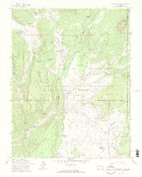
1964 Map of Oakbrush Ridge
USGS Topo · Published 1967About this map
The Piedra River drainage carves through the high country of the San Juan National Forest in this mid-1960s survey of the borderlands between Hinsdale and Archuleta counties. The landscape is defined by the sharp verticality of Oakbrush Ridge and Ice Cave Ridge, while the human presence is marked by a network of pack trails, stock trails, and irrigation infrastructure like the Toner-Taylor Ditch. Scattered ranching and community life are evident at Singing Pines Ranch, the Kleckner Ranch, and the Debs Community Hall, illustrating the mid-century intersection of recreation, grazing, and forestry.
Find a feature on this map
61 named features on this map. Tap any name to fly to it.
Don’t see what you’re looking for? This feature index may not catch every label — zoom into the map to look around manually.
Map Details
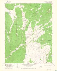
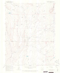
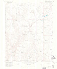
Editions of this 1964 Oakbrush Ridge Map
4 editions found

Other maps of this area

1905 · San Cristobal
USGS Topo · 1:125,000

1907 · San Cristobal
USGS Topo · 1:125,000

1924 · Pagosa Springs
USGS Topo · 1:125,000

1927 · Pagosa Springs
USGS Topo · 1:125,000

1945 · Durango
USGS Topo · 1:250,000

1953 · Durango
USGS Topo · 1:250,000

1954 · Durango
USGS Topo · 1:250,000

1961 · Durango
USGS Topo · 1:250,000

1963 · Durango
USGS Topo · 1:250,000
1964 · Chris Mountain
USGS Topo · 1:24,000