
1964 Map of Oakbrush Ridge
USGS Topo · Published 1967About this map
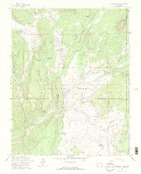
The Piedra River corridor in the mid-1960s reveals a landscape defined by forest management and ranching within the San Juan National Forest. The valley serves as a hub for both industry and recreation, evidenced by the Piedra Guard Station and established campsites like Williams Creek Campground and Upper Piedra Campground. Settlement is sparse and primarily agricultural, featuring the Singing Pines Ranch and Kleckner Ranch, while the Debs Community Hall indicates a focal point for the local rural community.
Find a feature on this map
51 named features on this map. Tap any name to fly to it.
Don’t see what you’re looking for? This feature index may not catch every label — zoom into the map to look around manually.
Map Details
Editions of this 1964 Oakbrush Ridge Map
4 editions found
Other maps of this area

1905 · San Cristobal
USGS Topo · 1:125,000

1907 · San Cristobal
USGS Topo · 1:125,000

1924 · Pagosa Springs
USGS Topo · 1:125,000

1927 · Pagosa Springs
USGS Topo · 1:125,000

1945 · Durango
USGS Topo · 1:250,000

1953 · Durango
USGS Topo · 1:250,000

1954 · Durango
USGS Topo · 1:250,000

1961 · Durango
USGS Topo · 1:250,000

1963 · Durango
USGS Topo · 1:250,000
1964 · Chris Mountain
USGS Topo · 1:24,000