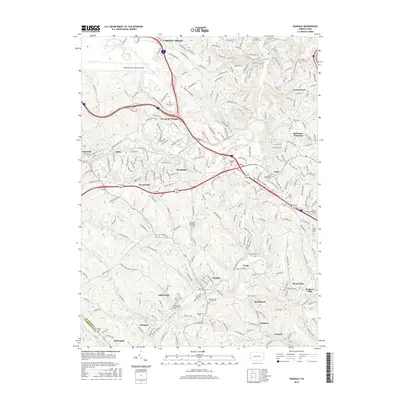
2016 Map of Oakdale
USGS Topo · Published 2016About this map
Pittsburgh International Airport dominates the northwestern corner of this landscape, marking a sharp contrast between modern infrastructure and the deeply carved valley of Montour Run. The area reflects a suburban and industrial evolution in the 21st century, where residential pockets like Coraopolis Heights and Forest Grove sit atop ridges overlooking the winding paths of Meeks Run and McClarens Run. This terrain is defined by its numerous small-scale communities and religious sites, such as the Union Presbyterian Church Cem and Holy Trinity Cem.
Find a feature on this map
254 named features on this map. Tap any name to fly to it.
Don’t see what you’re looking for? This feature index may not catch every label — zoom into the map to look around manually.
Map Details
Editions of this 2016 Oakdale Map
This is the sole edition of this map. No revisions or reprints were ever made.
Other maps of this area

1901 · Beaver
USGS Topo · 1:62,500

1904 · Beaver
USGS Topo · 1:62,500

1904 · Carnegie
USGS Topo · 1:62,500

1904 · Burgettstown
USGS Topo · 1:62,500

1906 · Burgettstown
USGS Topo · 1:62,500

1906 · Carnegie
USGS Topo · 1:62,500

1906 · Sewickley
USGS Topo · 1:62,500

1908 · Sewickley
USGS Topo · 1:62,500

1908 · Carnegie
USGS Topo · 1:62,500

1948 · Pittsburgh West
USGS Topo · 1:24,000
Featured Places
- Moon Township, PA
- Robinson Township, PA
- Sturgeon, North Fayette Township
- Oakdale, PA
- Rennerdale, Collier Township