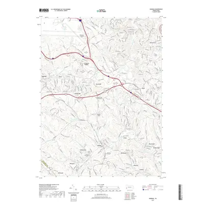
2019 Map of Oakdale
USGS Topo · Published 2019About this map
Robinson Run and Montour Run define the dendritic drainage patterns of western Allegheny County, where suburban expansion meets legacy industrial corridors. The southern portion of the sheet is anchored by the borough of Oakdale, a valley settlement historically shaped by the rail lines that follow the water's edge toward McDonald. This area is dense with genealogical markers, including the Noblestown Presbyterian Cem and Saint Patrick's Cem near the village of Noblestown. Further north, the landscape shifts toward the massive infrastructure of the Pittsburgh International Airport and the educational campus of the Community College of Allegheny County - West Hills Center. The map captures a moment of modern development in Coraopolis Heights and Beechcliff, where new residential streets weave between established cemeteries like Montour Cem and Holy Souls Cem.
Find a feature on this map
279 named features on this map. Tap any name to fly to it.
Don’t see what you’re looking for? This feature index may not catch every label — zoom into the map to look around manually.
Map Details
Editions of this 2019 Oakdale Map
This is the sole edition of this map. No revisions or reprints were ever made.
Other maps of this area

1901 · Beaver
USGS Topo · 1:62,500

1904 · Beaver
USGS Topo · 1:62,500

1904 · Carnegie
USGS Topo · 1:62,500

1904 · Burgettstown
USGS Topo · 1:62,500

1906 · Burgettstown
USGS Topo · 1:62,500

1906 · Carnegie
USGS Topo · 1:62,500

1906 · Sewickley
USGS Topo · 1:62,500

1908 · Sewickley
USGS Topo · 1:62,500

1908 · Carnegie
USGS Topo · 1:62,500

1948 · Pittsburgh West
USGS Topo · 1:24,000
Featured Places
- Moon Township, PA
- Robinson Township, PA
- Sturgeon, North Fayette Township
- Oakdale, PA
- Rennerdale, Collier Township