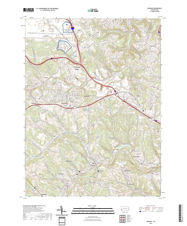
2023 Map of Oakdale
USGS Topo · Published 2023About this map
The borough of Oakdale serves as a central hub in this western Pennsylvania landscape, where the confluence of North Branch Robinson Run and Robinson Run shaped early settlement patterns. This modern topographic record reveals the dense network of cemeteries that anchor the area's local history, including Saint Patrick's Cem, Oakdale Old German Cem, and the Noblestown Presbyterian Cem near the village of Noblestown. To the north, the industrial and commercial character shifts toward the Pittsburgh International Airport and the sprawling Coraopolis Heights residential areas.
Find a feature on this map
240 named features on this map. Tap any name to fly to it.
Don’t see what you’re looking for? This feature index may not catch every label — zoom into the map to look around manually.
Map Details
Editions of this 2023 Oakdale Map
This is the sole edition of this map. No revisions or reprints were ever made.
Other maps of this area

1901 · Beaver
USGS Topo · 1:62,500

1904 · Beaver
USGS Topo · 1:62,500

1904 · Carnegie
USGS Topo · 1:62,500

1904 · Burgettstown
USGS Topo · 1:62,500

1906 · Burgettstown
USGS Topo · 1:62,500

1906 · Carnegie
USGS Topo · 1:62,500

1906 · Sewickley
USGS Topo · 1:62,500

1908 · Sewickley
USGS Topo · 1:62,500

1908 · Carnegie
USGS Topo · 1:62,500

1948 · Pittsburgh West
USGS Topo · 1:24,000
Featured Places
- Moon Township, PA
- Robinson Township, PA
- Sturgeon, North Fayette Township
- Oakdale, PA
- Rennerdale, Collier Township