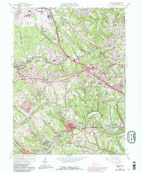
1960 Map of Oakdale
USGS Topo · Published 1990About this map
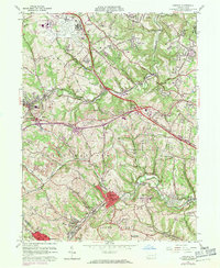
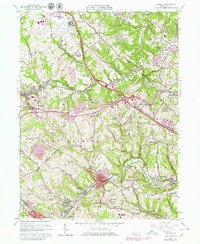
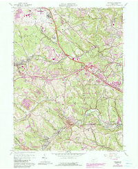
The Greater Pittsburgh International Airport dominates the northwestern corner of this landscape, reflecting the post-war infrastructure expansion in Allegheny County. To the south, the industrial and military presence is heavy, anchored by the NORAD Joint Manual Direction Center near Oakdale. The terrain is deeply marked by the extractive history of the region, featuring numerous areas of reclaimed strip mines alongside established communities like Imperial, Noblestown, and Sturgeon. Transport routes such as the Montour RR and Steubenville Pike reveal how coal and commuter movement shaped the development of North Fayette and Collier. Large institutions, including the Woodville State Hospital and Settlers Cabin County Park, occupy significant acreage, illustrating the transition from a purely industrial mining environment to one of public services and regional recreation during the mid-20th century.
Find a feature on this map
59 named features on this map. Tap any name to fly to it.
Don’t see what you’re looking for? This feature index may not catch every label — zoom into the map to look around manually.
Map Details
Editions of this 1960 Oakdale Map
7 editions found
Other maps of this area

1901 · Beaver
USGS Topo · 1:62,500

1904 · Beaver
USGS Topo · 1:62,500

1904 · Carnegie
USGS Topo · 1:62,500

1904 · Burgettstown
USGS Topo · 1:62,500

1906 · Burgettstown
USGS Topo · 1:62,500

1906 · Carnegie
USGS Topo · 1:62,500

1906 · Sewickley
USGS Topo · 1:62,500

1908 · Sewickley
USGS Topo · 1:62,500

1908 · Carnegie
USGS Topo · 1:62,500

1948 · Pittsburgh West
USGS Topo · 1:24,000
Featured Places
- Moon Township, PA
- Robinson Township, PA
- Sturgeon, North Fayette Township
- Oakdale, PA
- Rennerdale, Collier Township