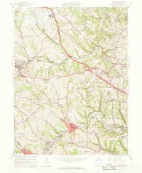
1960 Map of Oakdale
USGS Topo · Published 1968About this map
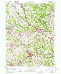
The Greater Pittsburgh Airport dominates the northern reaches of this map, illustrating the post-war expansion of aviation infrastructure into the rolling hills of Allegheny County. Surrounding this modern hub, the landscape retains traces of an earlier industrial era, marked by numerous Strip Mines and the rail corridors of the Montour RR and the Pennsylvania RR. These tracks wind through established communities like Oakdale and McDonald, connecting them to the larger regional economy.
Find a feature on this map
69 named features on this map. Tap any name to fly to it.
Don’t see what you’re looking for? This feature index may not catch every label — zoom into the map to look around manually.
Map Details
Editions of this 1960 Oakdale Map
7 editions found
Other maps of this area

1901 · Beaver
USGS Topo · 1:62,500

1904 · Beaver
USGS Topo · 1:62,500

1904 · Carnegie
USGS Topo · 1:62,500

1904 · Burgettstown
USGS Topo · 1:62,500

1906 · Burgettstown
USGS Topo · 1:62,500

1906 · Carnegie
USGS Topo · 1:62,500

1906 · Sewickley
USGS Topo · 1:62,500

1908 · Sewickley
USGS Topo · 1:62,500

1908 · Carnegie
USGS Topo · 1:62,500

1948 · Pittsburgh West
USGS Topo · 1:24,000
Featured Places
- Moon Township, PA
- Robinson Township, PA
- Sturgeon, North Fayette Township
- Oakdale, PA
- Rennerdale, Collier Township