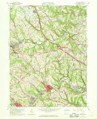
1960 Map of Oakdale
USGS Topo · Published 1960About this map
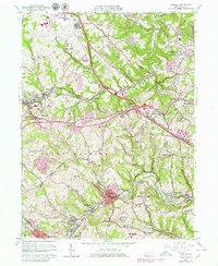
The Greater Pittsburgh Airport anchors the northern portion of this 1960 landscape, revealing the massive scale of civil aviation infrastructure amidst the hills of western Allegheny County. While the airport represents modern expansion, the surrounding townships of North Fayette and Collier remain deeply marked by traditional industry and institutional presence. Extensive strip mines pockmark the terrain near Imperial and Fayetteville, tracing the extraction patterns of the coal era.
Find a feature on this map
69 named features on this map. Tap any name to fly to it.
Don’t see what you’re looking for? This feature index may not catch every label — zoom into the map to look around manually.
Map Details
Editions of this 1960 Oakdale Map
7 editions found
Other maps of this area

1901 · Beaver
USGS Topo · 1:62,500

1904 · Beaver
USGS Topo · 1:62,500

1904 · Carnegie
USGS Topo · 1:62,500

1904 · Burgettstown
USGS Topo · 1:62,500

1906 · Burgettstown
USGS Topo · 1:62,500

1906 · Carnegie
USGS Topo · 1:62,500

1906 · Sewickley
USGS Topo · 1:62,500

1908 · Sewickley
USGS Topo · 1:62,500

1908 · Carnegie
USGS Topo · 1:62,500

1948 · Pittsburgh West
USGS Topo · 1:24,000
Featured Places
- Moon Township, PA
- Robinson Township, PA
- Sturgeon, North Fayette Township
- Oakdale, PA
- Rennerdale, Collier Township