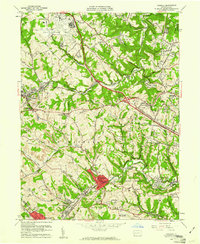
1960 Map of Oakdale
USGS Topo · Published 1961About this map
The Greater Pittsburgh Airport dominates the northwest corner of this landscape, its runways and military reservation occupying high ground above the winding valleys of the Robinson and North Fayette districts. This 1960 revision documents a transition from the heavy industrial past of extensive Strip Mines to mid-century suburban expansion. The infrastructure of the Montour RR and Pennsylvania RR cuts through the terrain, connecting established rail towns like Oakdale and Noblestown with the larger regional network.
Find a feature on this map
69 named features on this map. Tap any name to fly to it.
Don’t see what you’re looking for? This feature index may not catch every label — zoom into the map to look around manually.
Map Details
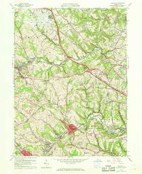
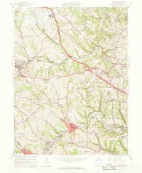
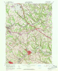
Editions of this 1960 Oakdale Map
7 editions found
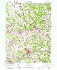
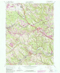
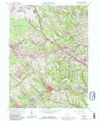
Other maps of this area

1901 · Beaver
USGS Topo · 1:62,500

1904 · Beaver
USGS Topo · 1:62,500

1904 · Carnegie
USGS Topo · 1:62,500

1904 · Burgettstown
USGS Topo · 1:62,500

1906 · Burgettstown
USGS Topo · 1:62,500

1906 · Carnegie
USGS Topo · 1:62,500

1906 · Sewickley
USGS Topo · 1:62,500

1908 · Sewickley
USGS Topo · 1:62,500

1908 · Carnegie
USGS Topo · 1:62,500

1948 · Pittsburgh West
USGS Topo · 1:24,000
Featured Places
- Moon Township, PA
- Robinson Township, PA
- Sturgeon, North Fayette Township
- Oakdale, PA
- Rennerdale, Collier Township