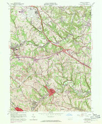
1960 Map of Oakdale
USGS Topo · Published 1971About this map
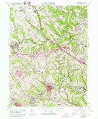
Industrial and residential development across western Allegheny County is captured here, centered on the Penn Central rail line and the valley of Robinson Run. The landscape is a transition of mid-century infrastructure, dominated in the north by the Greater Pittsburgh Airport and its associated military reservations. Small mining-era settlements such as Cliff Mine and Noblestown contrast with the large institutional footprints of the Woodville State Hospital and Settlers Cabin Regional Park. Numerous oil and gas wells are scattered across the townships of Moon and North Fayette, suggesting the subsurface mineral extraction that continued alongside the growth of suburban enclaves like Oakdale and McDonald. The map details the local educational and religious backbone of these communities through sites like Holy Trinity Sch and St Vincent De Paul Church.
Find a feature on this map
64 named features on this map. Tap any name to fly to it.
Don’t see what you’re looking for? This feature index may not catch every label — zoom into the map to look around manually.
Map Details
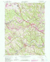
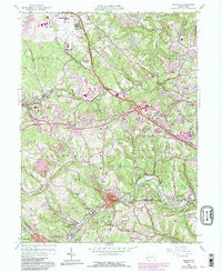
Editions of this 1960 Oakdale Map
7 editions found
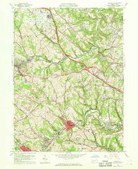
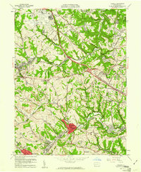
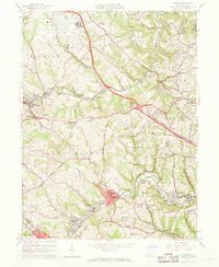
Other maps of this area

1901 · Beaver
USGS Topo · 1:62,500

1904 · Beaver
USGS Topo · 1:62,500

1904 · Carnegie
USGS Topo · 1:62,500

1904 · Burgettstown
USGS Topo · 1:62,500

1906 · Burgettstown
USGS Topo · 1:62,500

1906 · Carnegie
USGS Topo · 1:62,500

1906 · Sewickley
USGS Topo · 1:62,500

1908 · Sewickley
USGS Topo · 1:62,500

1908 · Carnegie
USGS Topo · 1:62,500

1948 · Pittsburgh West
USGS Topo · 1:24,000
Featured Places
- Moon Township, PA
- Robinson Township, PA
- Sturgeon, North Fayette Township
- Oakdale, PA
- Rennerdale, Collier Township