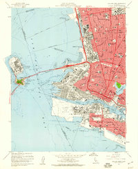
1959 Map of Oakland West
USGS Topo · Published 1960About this map
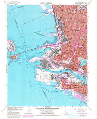
Alameda Naval Air Station and the Oakland Naval Supply Center dominate the shoreline during this peak era of maritime and military operations in the East Bay. The map illustrates a densely developed urban landscape where the Southern Pacific and Western Pacific railroads converge at the Oakland Mole and Alameda Mole, serving as critical transit hubs for the region.
Find a feature on this map
111 named features on this map. Tap any name to fly to it.
Don’t see what you’re looking for? This feature index may not catch every label — zoom into the map to look around manually.
Map Details
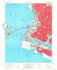
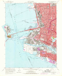
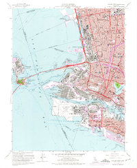
Editions of this 1959 Oakland West Map
5 editions found
Other maps of this area

1892 · San Mateo
USGS Topo · 1:62,500

1895 · San Francisco
USGS Topo · 1:62,500

1896 · San Mateo
USGS Topo · 1:62,500

1897 · Concord
USGS Topo · 1:62,500

1899 · San Francisco
USGS Topo · 1:62,500

1899 · Haywards
USGS Topo · 1:62,500

1899 · San Mateo
USGS Topo · 1:62,500

1915 · San Mateo
USGS Topo · 1:62,500

1915 · Haywards
USGS Topo · 1:62,500

1915 · Concord
USGS Topo · 1:62,500