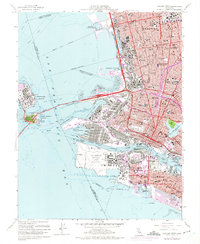
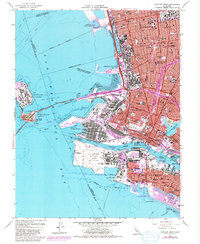
1959 Map of Oakland West
USGS Topo · Published 1975About this map
The dense industrial and naval infrastructure of the East Bay waterfront dominates this mid-century survey, from the sprawling Alameda Naval Air Station to the specialized Oakland Naval Supply Center. The map details a landscape shaped by massive military and transportation investments, including the San Francisco - Oakland Bay Bridge and the Nimitz Freeway cutting through the urban core. To the north, the University of California campus and the original Oakland City College anchor the residential grid. The coastline exhibits significant 20th-century modification, featuring the Berkeley Aquatic Park and protected basins like Brooklyn Basin and Encinal Basin. Rail corridors of the Southern Pacific and Western Pacific weave through the harbor district, marking the era's reliance on integrated sea, rail, and road transport.
Find a feature on this map
100 named features on this map. Tap any name to fly to it.
Don’t see what you’re looking for? This feature index may not catch every label — zoom into the map to look around manually.
Map Details
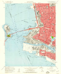
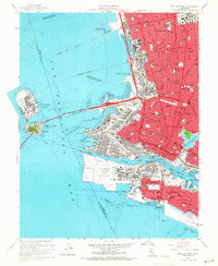
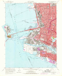
Editions of this 1959 Oakland West Map
5 editions found
Other maps of this area

1892 · San Mateo
USGS Topo · 1:62,500

1895 · San Francisco
USGS Topo · 1:62,500

1896 · San Mateo
USGS Topo · 1:62,500

1897 · Concord
USGS Topo · 1:62,500

1899 · San Francisco
USGS Topo · 1:62,500

1899 · Haywards
USGS Topo · 1:62,500

1899 · San Mateo
USGS Topo · 1:62,500

1915 · San Mateo
USGS Topo · 1:62,500

1915 · Haywards
USGS Topo · 1:62,500

1915 · Concord
USGS Topo · 1:62,500