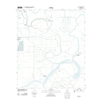
2012 Map of Oakley
USGS Topo · Published 2012About this map
Bayou Macon and the Tensas River dominate this Louisiana landscape, winding through the alluvial plains of Franklin Parish. The map reveals a complex network of waterways, including Wolf Bayou, Black Bayou, and the Tensas Lake system, illustrating the hydrology of the Mississippi Delta region. Historically significant river access points are clearly marked, such as Craig Landing, Cut Off Landing, and Big A Plenty Landing, which once served as vital links for local commerce and transport. The small settlement of Oakley sits in the northwest, while the presence of the Kendrick Ferry Bridge and the former site of Kendrick Ferry highlight the evolution of river crossings. Local geography is further detailed with named terrain like Bucks Bottom and Hog Glade, alongside numerous family-named roads like George Carroll Rd and Wade Bufkin Rd.
Find a feature on this map
49 named features on this map. Tap any name to fly to it.
Don’t see what you’re looking for? This feature index may not catch every label — zoom into the map to look around manually.
Map Details
Editions of this 2012 Oakley Map
This is the sole edition of this map. No revisions or reprints were ever made.
Other maps of this area

1935 · Winnsboro
USGS Topo · 1:62,500

1935 · Shackleford Lake
USGS Topo · 1:62,500

1939 · Locust Ridge
USGS Topo · 1:62,500

1941 · Sicily Island
USGS Topo · 1:62,500

1953 · Natchez
USGS Topo · 1:250,000

1955 · Jackson
USGS Topo · 1:250,000

1956 · Natchez
USGS Topo · 1:250,000

1957 · Sicily Island
USGS Topo · 1:62,500

1958 · Shackleford Lake
USGS Topo · 1:62,500

1958 · Winnsboro
USGS Topo · 1:62,500