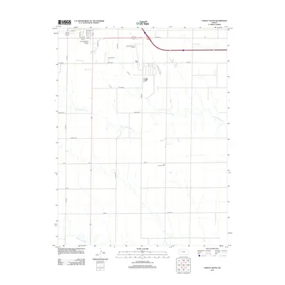
2012 Map of Oakley South
USGS Topo · Published 2012About this map
The High Plains landscape south of Oakley is defined by the ephemeral drainage patterns of N Br Hackberry Cr and Middle Br Hackberry Cr. This 2012 survey illustrates the section-line road grid characteristic of western Kansas, where routes like Wagon and Zest provide access to the expansive agricultural terrain. A significant site for local history is the Zion Norwegian Cem, situated in the eastern portion of the quadrangle, serving as a marker of the area's early settlement. Infrastructure supporting the regional center includes the Oakley Municipal Airport and the Oakley Wastewater Treatment Facility, both located on the northern edge of the map near the intersection with Old Hwy 40.
Find a feature on this map
25 named features on this map. Tap any name to fly to it.
Don’t see what you’re looking for? This feature index may not catch every label — zoom into the map to look around manually.
Map Details
Editions of this 2012 Oakley South Map
This is the sole edition of this map. No revisions or reprints were ever made.
Other maps of this area

1954 · Goodland
USGS Topo · 1:250,000

1955 · Scott City
USGS Topo · 1:250,000

1956 · Goodland
USGS Topo · 1:250,000

1957 · Goodland
USGS Topo · 1:250,000

1958 · Scott City
USGS Topo · 1:250,000
1972 · Elkader NW
USGS Topo · 1:24,000
1972 · Orion
USGS Topo · 1:24,000
1972 · Elkader NE
USGS Topo · 1:24,000
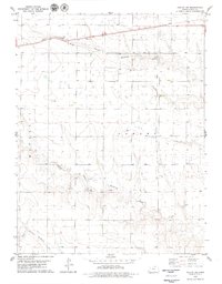
1979 · Oakley SW
USGS Topo · 1:24,000
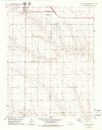
1979 · Oakley South
USGS Topo · 1:24,000