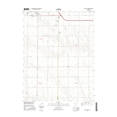
2015 Map of Oakley South
USGS Topo · Published 2015About this map
Oakley sits at the northern edge of this high plains landscape, where the town grid transitions into a vast network of section roads and grazing land. The boundary between Logan County and Gove County bisects the sheet, following the path of Gove 10 and Co Rd 430 southward. This 2015 survey reveals a terrain defined by subtle drainages, notably the winding paths of N Br Hackberry Cr and Middle Br Hackberry Cr, which provide the only significant relief in an otherwise flat agricultural expanse. Scattered throughout the townships are several named rural lanes and small developments such as Cedar Crst, Broken Bow, and Apache Acre. A site of particular interest for local history is the Zion Norwegian Cem located in Gove County, serving as a quiet reminder of the area's immigrant heritage and early settlement patterns near the Oakley Municipal Airport.
Find a feature on this map
37 named features on this map. Tap any name to fly to it.
Don’t see what you’re looking for? This feature index may not catch every label — zoom into the map to look around manually.
Map Details
Editions of this 2015 Oakley South Map
This is the sole edition of this map. No revisions or reprints were ever made.
Other maps of this area

1954 · Goodland
USGS Topo · 1:250,000

1955 · Scott City
USGS Topo · 1:250,000

1956 · Goodland
USGS Topo · 1:250,000

1957 · Goodland
USGS Topo · 1:250,000

1958 · Scott City
USGS Topo · 1:250,000
1972 · Elkader NW
USGS Topo · 1:24,000
1972 · Orion
USGS Topo · 1:24,000
1972 · Elkader NE
USGS Topo · 1:24,000
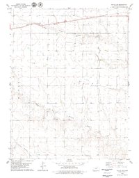
1979 · Oakley SW
USGS Topo · 1:24,000
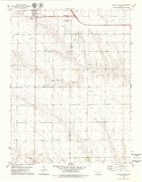
1979 · Oakley South
USGS Topo · 1:24,000