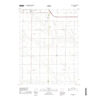
2018 Map of Oakley South
USGS Topo · Published 2018About this map
The southern edge of Oakley transitions from a grid of residential streets like S Freeman Ave and Sunrise Ave into the high plains of the Logan County and Gove County border. This area is characterized by the branching drainage systems of N Br Hackberry Cr and Middle Br Hackberry Cr, which carve subtle relief into the primarily agricultural landscape. The local infrastructure reflects a blend of early transportation routes and modern aviation, centered around the Oakley Municipal Airport and segments of Old Hwy 40. Evidence of the region’s cultural heritage is anchored by the Zion Norwegian Cem, a notable site for genealogical research. Named rural roads such as Cedar Crst, Broken Bow, and Apache Acre delineate the township and range system, providing a precise spatial framework for studying 21st-century land use and property boundaries in this part of western Kansas.
Find a feature on this map
40 named features on this map. Tap any name to fly to it.
Don’t see what you’re looking for? This feature index may not catch every label — zoom into the map to look around manually.
Map Details
Editions of this 2018 Oakley South Map
This is the sole edition of this map. No revisions or reprints were ever made.
Other maps of this area

1954 · Goodland
USGS Topo · 1:250,000

1955 · Scott City
USGS Topo · 1:250,000

1956 · Goodland
USGS Topo · 1:250,000

1957 · Goodland
USGS Topo · 1:250,000

1958 · Scott City
USGS Topo · 1:250,000
1972 · Elkader NW
USGS Topo · 1:24,000
1972 · Orion
USGS Topo · 1:24,000
1972 · Elkader NE
USGS Topo · 1:24,000
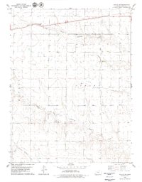
1979 · Oakley SW
USGS Topo · 1:24,000
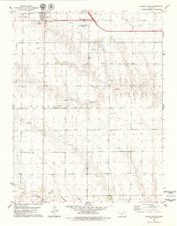
1979 · Oakley South
USGS Topo · 1:24,000