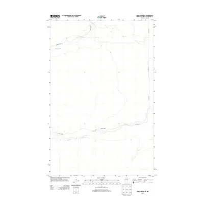
2013 Map of Oaks Corner NE
USGS Topo · Published 2013About this map
The Rapid River and its northern branch, the N Br Rapid River, wind through this northern Minnesota landscape, creating a drainage network defined by low-lying wetlands and periodic water bodies. Thief Lake sits in the northern reaches of the area, while Miller Cr feeds into the main river system from the southeast. The infrastructure of the region is centered on forestry and resource access, marked by the long stretch of the Pitt Grade SW and the primitive paths of the Bankton Forest Rd. A significant crossing point is found at Peplin Bridge, where Rapid River Rd meets the water. This 2013 survey illustrates the remote, hydrologically complex character of Lake of the Woods County, where the transition between river systems and seasonal lakes dictates the placement of the few established forest roads.
Find a feature on this map
8 named features on this map. Tap any name to fly to it.
Don’t see what you’re looking for? This feature index may not catch every label — zoom into the map to look around manually.
Map Details
Editions of this 2013 Oaks Corner NE Map
This is the sole edition of this map. No revisions or reprints were ever made.
Other maps of this area
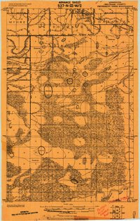
1919 · Peppermint Creek
USGS Topo · 1:62,500
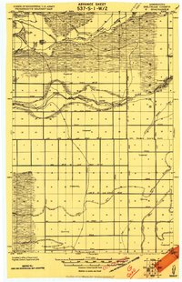
1919 · G
USGS Topo · 1:62,500
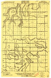
1919 · Knutson
USGS Topo · 1:62,500
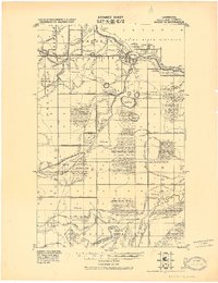
1921 · Baudette
USGS Topo · 1:62,500
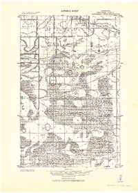
1943 · Peppermint Creek
USGS Topo · 1:62,500

1954 · Roseau
USGS Topo · 1:250,000

1957 · Roseau
USGS Topo · 1:250,000

1958 · Roseau
USGS Topo · 1:250,000
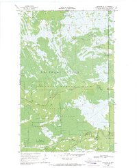
1968 · Graceton SE
USGS Topo · 1:24,000
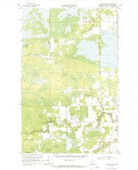
1968 · Baudette SW
USGS Topo · 1:24,000