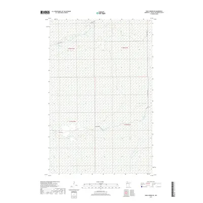
2019 Map of Oaks Corner NE
USGS Topo · Published 2019About this map
Rapid River and its tributary Miller Cr define the hydrological landscape of this Lake of the Woods County quadrangle. The terrain is characterized by extensive wetlands and forest management infrastructure, visible in the network of logging and forest service routes that crisscross the area. Notable among these is the Pitt Grade Forest Rd running along the eastern edge, while the Bankton Trl SW serves the northwestern sector. Near the center of the sheet, the Peplin Bridge provides a critical crossing for Rapid River Rd over the waterway, marking a rare point of human engineering in an otherwise largely undeveloped expanse of Minnesota's northern borderlands. This 2019 survey documents the modern state of these remote corridors, illustrating how the natural flow of the river continues to dictate the placement of transportation routes and access points within the township grid.
Find a feature on this map
10 named features on this map. Tap any name to fly to it.
Don’t see what you’re looking for? This feature index may not catch every label — zoom into the map to look around manually.
Map Details
Editions of this 2019 Oaks Corner NE Map
This is the sole edition of this map. No revisions or reprints were ever made.
Other maps of this area
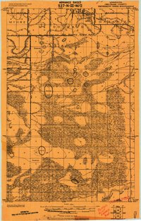
1919 · Peppermint Creek
USGS Topo · 1:62,500
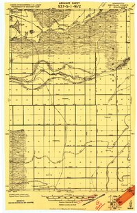
1919 · G
USGS Topo · 1:62,500
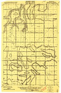
1919 · Knutson
USGS Topo · 1:62,500
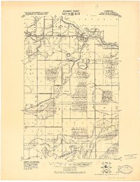
1921 · Baudette
USGS Topo · 1:62,500
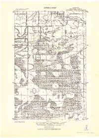
1943 · Peppermint Creek
USGS Topo · 1:62,500

1954 · Roseau
USGS Topo · 1:250,000

1957 · Roseau
USGS Topo · 1:250,000

1958 · Roseau
USGS Topo · 1:250,000
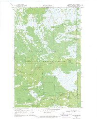
1968 · Graceton SE
USGS Topo · 1:24,000
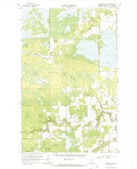
1968 · Baudette SW
USGS Topo · 1:24,000