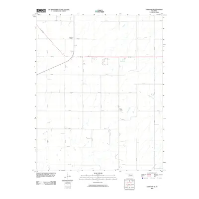
2009 Map of Oakwood SE
USGS Topo · Published 2009About this map
Rising Sun Cemetery and Mount Pleasant Cemetery stand as quiet markers of rural heritage in this pocket of western Oklahoma. The landscape is defined by a rigorous sectional grid of roads, including E0800 Rd and N2500 Rd, which facilitate transport through the agricultural plains. Drainage patterns are shaped by Weavers Creek as it moves through the central terrain, while Chicken Creek touches the southeastern corner. Scott Dam indicates local water management efforts in an area where the primary landmarks are often the final resting places of early settlers. The distribution of these features across the quadrangle suggests a long-established rural community focused on land cultivation and enduring local lineages.
Find a feature on this map
25 named features on this map. Tap any name to fly to it.
Don’t see what you’re looking for? This feature index may not catch every label — zoom into the map to look around manually.
Map Details
Editions of this 2009 Oakwood SE Map
This is the sole edition of this map. No revisions or reprints were ever made.
Other maps of this area

1942 · Geary
USGS Topo · 1:62,500

1955 · Clinton
USGS Topo · 1:250,000

1957 · Clinton
USGS Topo · 1:250,000

1964 · Oakwood
USGS Topo · 1:62,500

1964 · Weatherford
USGS Topo · 1:62,500

1972 · Watonga
USGS Topo · 1:24,000
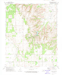
1972 · Watonga Lake
USGS Topo · 1:24,000

1979 · Greenfield
USGS Topo · 1:24,000
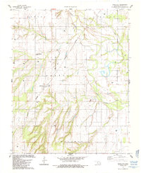
1985 · Eagle City
USGS Topo · 1:24,000
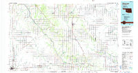
1985 · Watonga
USGS Topo · 1:100,000