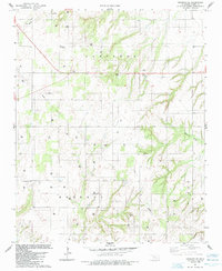
1985 Map of Oakwood SE
USGS Topo · Published 1985About this map
Arapahoe, Kennedy, and Dixon townships form the backbone of this Blaine County landscape as it appeared in the mid-1980s. The area is defined by a dense network of energy infrastructure, where numerous Gas Wells and a central Pipeline cross the terrain. This industrial footprint is interspersed with established local landmarks that anchor the community's history, including the Church of the First Born and rural burial sites like Mt Pleasant Cem and Rising Sun Cem.
Find a feature on this map
16 named features on this map. Tap any name to fly to it.
Don’t see what you’re looking for? This feature index may not catch every label — zoom into the map to look around manually.
Map Details
Editions of this 1985 Oakwood SE Map
This is the sole edition of this map. No revisions or reprints were ever made.
Other maps of this area

1942 · Geary
USGS Topo · 1:62,500

1955 · Clinton
USGS Topo · 1:250,000

1957 · Clinton
USGS Topo · 1:250,000

1964 · Oakwood
USGS Topo · 1:62,500

1964 · Weatherford
USGS Topo · 1:62,500

1972 · Watonga
USGS Topo · 1:24,000
1972 · Watonga Lake
USGS Topo · 1:24,000

1979 · Greenfield
USGS Topo · 1:24,000
1985 · Eagle City
USGS Topo · 1:24,000
1985 · Watonga
USGS Topo · 1:100,000