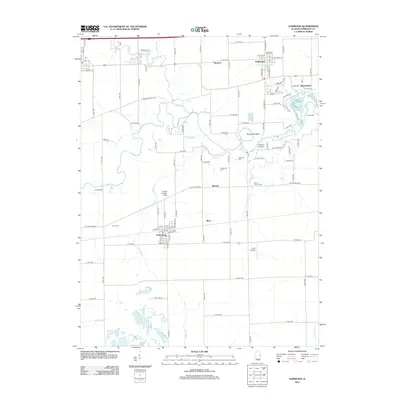
2012 Map of Oakwood
USGS Topo · Published 2012About this map
Fairmount and Oakwood anchor this survey of Vermilion County, showing the agricultural and residential layout of eastern Illinois during the early twenty-first century. The wandering course of the Salt Fork river defines the central landscape, creating distinctive features like Horseshoe Bend and providing a backdrop for local landmarks such as the Singing Bridge. Smaller settlements like Bronson, Missionfield, and Ryan are interspersed among a grid of section roads and established family burial grounds, including Hickman Cem and Mount Vernon Cem. The presence of Catlett Landing Strip and Cast Airport reflects the continued importance of local aviation in the rural landscape. Near the eastern edge, Camp Drake and the waters of Stony Cr offer a glimpse into the area's recreational geography, while legacy names like Bennett point to the enduring local history of these unincorporated communities.
Find a feature on this map
47 named features on this map. Tap any name to fly to it.
Don’t see what you’re looking for? This feature index may not catch every label — zoom into the map to look around manually.
Map Details
Editions of this 2012 Oakwood Map
This is the sole edition of this map. No revisions or reprints were ever made.
Other maps of this area

1899 · Danville
USGS Topo · 1:62,500

1900 · Danville
USGS Topo · 1:62,500

1931 · Fithian
USGS Topo · 1:48,000

1943 · Fithian
USGS Topo · 1:62,500

1947 · Ridge Farm
USGS Topo · 1:62,500

1948 · Danville NW
USGS Topo · 1:24,000

1949 · Danville SW
USGS Topo · 1:24,000

1950 · Danville SW
USGS Topo · 1:24,000

1950 · Danville NW
USGS Topo · 1:24,000

1953 · Danville
USGS Topo · 1:250,000