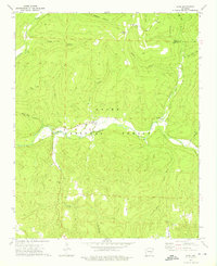
1973 Map of Oark
USGS Topo · Published 1976About this map
Oark and Catalpa serve as the primary human outposts within this heavily forested section of the Ozark National Forest in northern Johnson County. The Mulberry River winds through the center of the landscape, fed by a dense network of tributaries including Estep Creek, Bull Creek, and Washita Creek. This 1973 field-checked survey reveals a settlement pattern dictated by the steep topography, with homes and community structures concentrated in the narrow river valleys and hollows.
Find a feature on this map
34 named features on this map. Tap any name to fly to it.
Don’t see what you’re looking for? This feature index may not catch every label — zoom into the map to look around manually.
Map Details
Editions of this 1973 Oark Map
2 editions found
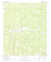
Other maps of this area

1889 · Ozone
USGS Topo · 1:62,500

1906 · Batson
USGS Topo · 1:62,500

1934 · Ozone
USGS Topo · 1:62,500

1936 · Ozone
USGS Topo · 1:62,500

1956 · Russellville
USGS Topo · 1:250,000
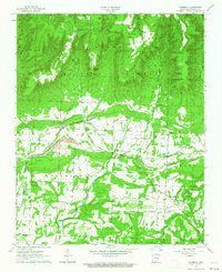
1963 · Harmony
USGS Topo · 1:24,000
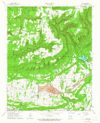
1963 · Hunt
USGS Topo · 1:24,000

1964 · Russellville
USGS Topo · 1:250,000
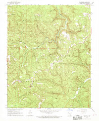
1967 · Fallsville
USGS Topo · 1:24,000
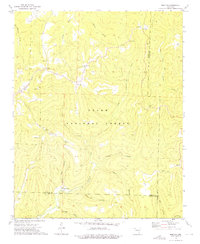
1973 · Boston
USGS Topo · 1:24,000