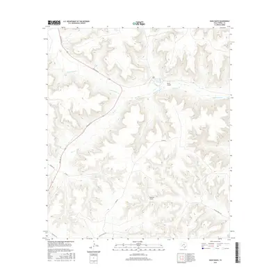
2016 Map of Oasis Ranch
USGS Topo · Published 2016About this map
Oasis Ranch serves as a lonely landmark in this arid stretch of Terrell County, situated near the confluence of local drainages and the winding path of Independence Cr. The landscape is defined by its deep incisions, with North Canyon and Richland Canyon carving through the limestone-dominated plateau. Water remains a precious and pinpointed resource in this part of the Trans-Pecos, evidenced by the presence of T-5 Springs north of the main ranch complex.
Find a feature on this map
12 named features on this map. Tap any name to fly to it.
Don’t see what you’re looking for? This feature index may not catch every label — zoom into the map to look around manually.
Map Details
Editions of this 2016 Oasis Ranch Map
This is the sole edition of this map. No revisions or reprints were ever made.
Other maps of this area

1929 · Sheffield
USGS Topo · 1:125,000

1954 · Sonora
USGS Topo · 1:250,000

1958 · Sonora
USGS Topo · 1:250,000
1967 · Horsehead Canyon
USGS Topo · 1:24,000
1967 · Sheffield SE
USGS Topo · 1:24,000
1967 · Dead Man Canyon
USGS Topo · 1:24,000
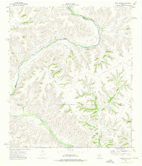
1973 · Post Canyon
USGS Topo · 1:24,000
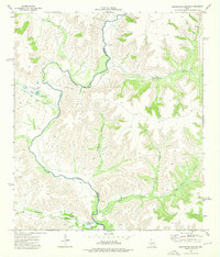
1973 · Sixshooter Canyon
USGS Topo · 1:24,000
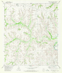
1980 · Geddis Canyon East
USGS Topo · 1:24,000
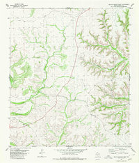
1980 · Geddis Canyon West
USGS Topo · 1:24,000