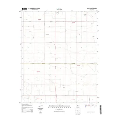
2013 Map of Oasis State Park
USGS Topo · Published 2013About this map
Cannon Air Force Base occupies the northern edge of this agricultural landscape, where the high plains of Eastern New Mexico meet the industrialized dairy industry. The map illustrates a transition between military installations and rural production, with many family and commercial operations such as Highland Dairy, Arrowhead Dairy, and Blackwater Draw Dairy dotting the terrain. The boundary between Curry Co and Roosevelt Co bisects the area, following Curry Road 3 across a grid-based transportation network. Beyond the dairy centers, local landmarks like Hardwick Ranch and the Wildflower Rnch highlight the enduring ranching character of the region. The map captures a moment in the early 21st century where the landscape is defined by large-scale agricultural footprints and the strategic presence of the Air Force base.
Find a feature on this map
41 named features on this map. Tap any name to fly to it.
Don’t see what you’re looking for? This feature index may not catch every label — zoom into the map to look around manually.
Map Details
Editions of this 2013 Oasis State Park Map
This is the sole edition of this map. No revisions or reprints were ever made.
Other maps of this area

1954 · Clovis
USGS Topo · 1:250,000

1957 · Portair
USGS Topo · 1:62,500

1957 · Clovis
USGS Topo · 1:62,500

1957 · Arch
USGS Topo · 1:62,500

1957 · Portales
USGS Topo · 1:62,500

1958 · Clovis
USGS Topo · 1:250,000

1985 · Portair
USGS Topo · 1:24,000

1985 · Midway
USGS Topo · 1:24,000
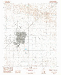
1985 · Portales
USGS Topo · 1:24,000
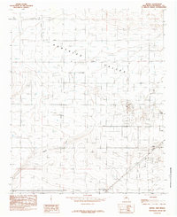
1985 · Bethel
USGS Topo · 1:24,000