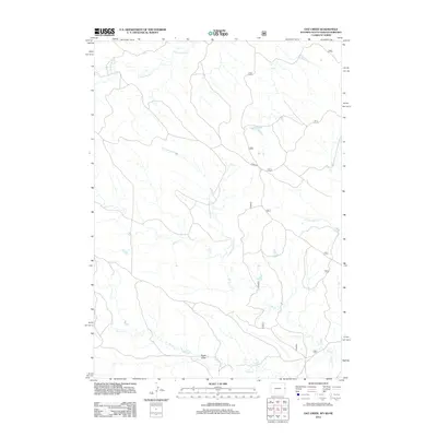
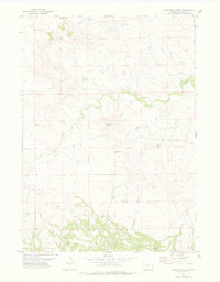
2012 Map of Oat Creek
USGS Topo · Published 2012About this map
Eagle Draw and a complex network of prairie drainage systems define this landscape along the borders of Nebraska, Wyoming, and South Dakota. Surveyed by the U.S. Geological Survey and the U.S. Forest Service, this area is dominated by the winding paths of Oat Cr and Indian Cr as they move through the high plains. The topography is marked by significant hydrological features including the S Cottonwood Cr, Cottonwood Cr, and Cottonwood Prong, which show the intricate watershed patterns typical of this tri-state region.
Find a feature on this map
14 named features on this map. Tap any name to fly to it.
Don’t see what you’re looking for? This feature index may not catch every label — zoom into the map to look around manually.
Map Details
Editions of this 2012 Oat Creek Map
This is the sole edition of this map. No revisions or reprints were ever made.
Other maps of this area
1902 · Edgemont
USGS Topo · 1:125,000
1954 · Torrington
USGS Topo · 1:250,000

1955 · Hot Springs
USGS Topo · 1:250,000

1955 · Newcastle
USGS Topo · 1:250,000

1955 · Alliance
USGS Topo · 1:250,000

1957 · Alliance
USGS Topo · 1:250,000
1958 · Torrington
USGS Topo · 1:250,000

1958 · Alliance
USGS Topo · 1:250,000

1958 · Newcastle
USGS Topo · 1:250,000
1978 · Shepherds Point
USGS Topo · 1:24,000