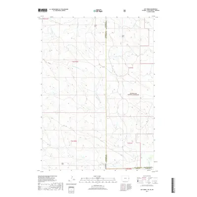
2017 Map of Oat Creek
USGS Topo · Published 2017About this map
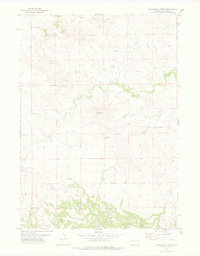
Buffalo Gap National Grassland dominates the eastern landscape of this high plains region, where the borders of Wyoming, South Dakota, and Nebraska converge. The terrain is defined by a network of seasonal drainages and draws that carve through the open range, including Simms Draw, Sheep Draw, and Eagle Draw. This area, part of the Oglala National Grassland system in Sioux County, Nebraska, reflects the sparse, ranching-oriented land use of the early 21st century.
Find a feature on this map
22 named features on this map. Tap any name to fly to it.
Don’t see what you’re looking for? This feature index may not catch every label — zoom into the map to look around manually.
Map Details
Editions of this 2017 Oat Creek Map
This is the sole edition of this map. No revisions or reprints were ever made.
Other maps of this area
1902 · Edgemont
USGS Topo · 1:125,000
1954 · Torrington
USGS Topo · 1:250,000

1955 · Hot Springs
USGS Topo · 1:250,000

1955 · Newcastle
USGS Topo · 1:250,000

1955 · Alliance
USGS Topo · 1:250,000

1957 · Alliance
USGS Topo · 1:250,000
1958 · Torrington
USGS Topo · 1:250,000

1958 · Alliance
USGS Topo · 1:250,000

1958 · Newcastle
USGS Topo · 1:250,000
1978 · Shepherds Point
USGS Topo · 1:24,000