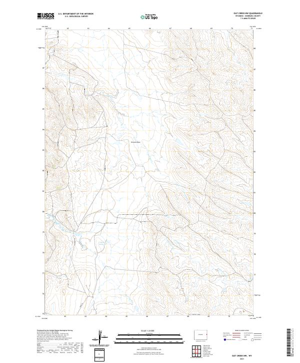
2021 Map of Oat Creek NW
USGS Topo · Published 2021About this map
Antelope Cr meanders through this high plains landscape of Niobrara County, where the drainage patterns of Kincaid Draw and Alkali Cr define the cattle-country topography. The map illustrates a section of Wyoming shaped by the Public Land Survey System, with township lines for T38N, T37N, and T36N clearly demarcated. Water management in this semi-arid environment is evidenced by Boner Reservoir, a central landmark for local ranchers and land managers. Transportation is limited to a few arterial routes such as Cummings Rd and Boner Rd, which provide access to the various sections of these vast grazing lands. The seasonal nature of the local hydrography is visible in the paths of Black Tail Cr and N Cottonwood Cr, which serve as vital drainage for the surrounding basins.
Find a feature on this map
14 named features on this map. Tap any name to fly to it.
Don’t see what you’re looking for? This feature index may not catch every label — zoom into the map to look around manually.
Map Details
Editions of this 2021 Oat Creek NW Map
This is the sole edition of this map. No revisions or reprints were ever made.
Other maps of this area

1955 · Newcastle
USGS Topo · 1:250,000

1958 · Newcastle
USGS Topo · 1:250,000

1978 · Mule Creek
USGS Topo · 1:24,000

1978 · Coffee Flats
USGS Topo · 1:24,000
1978 · Oat Creek NW
USGS Topo · 1:24,000
1978 · South Oat Creek
USGS Topo · 1:24,000
1978 · Oat Creek
USGS Topo · 1:24,000
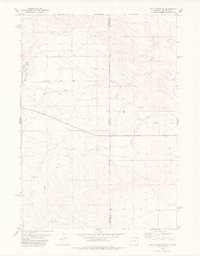
1978 · Mule Creek SE
USGS Topo · 1:24,000
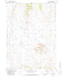
1981 · Coyote Gap
USGS Topo · 1:24,000
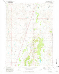
1981 · Redbird
USGS Topo · 1:24,000