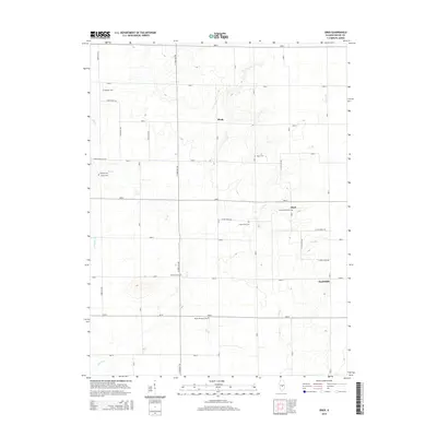
2015 Map of Obed
USGS Topo · Published 2015About this map
The small settlements of Pleak, Obed, and Yantisville anchor this rural landscape in Shelby County, Illinois, as it appeared in the early 21st century. The geography is defined by a grid of agricultural roads, such as N 1000 East Rd and 2400 N, which navigate around the natural drainage of Flat Br and Wilborn Cr.
Find a feature on this map
41 named features on this map. Tap any name to fly to it.
Don’t see what you’re looking for? This feature index may not catch every label — zoom into the map to look around manually.
Map Details
Editions of this 2015 Obed Map
This is the sole edition of this map. No revisions or reprints were ever made.
Other maps of this area
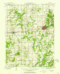
1942 · Shelbyville
USGS Topo · 1:62,500
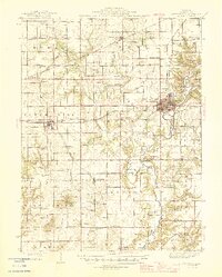
1946 · Shelbyville
USGS Topo · 1:62,500
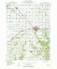
1947 · Pana
USGS Topo · 1:62,500
1949 · Dalton City
USGS Topo · 1:62,500
1949 · Pana
USGS Topo · 1:62,500
1952 · Assumption
USGS Topo · 1:62,500
1958 · Decatur
USGS Topo · 1:250,000
1961 · Decatur
USGS Topo · 1:250,000
1981 · Shelbyville
USGS Topo · 1:24,000
1981 · Tower Hill
USGS Topo · 1:24,000