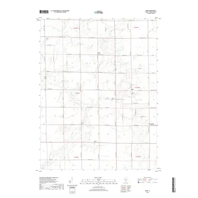
2018 Map of Obed
USGS Topo · Published 2018About this map
Pleak and Obed anchor a predominantly agricultural landscape in Shelby County, defined by a strictly surveyed grid of county roads and section lines. This 2018 survey reveals a territory where small rural settlements and a high density of country burial grounds provide the primary landmarks. Waterways like Flat Br, Wilborn Cr, and Sorghum Br cut through the terrain, influencing the placement of several local cemeteries. Of particular note for genealogists are the many family and community burial sites scattered across the townships, including Locust Grove Cem, Little Flock Cem, and Bethany Cem. Near the southern edge, the Lake Fork drainage area introduces more varied topography to the otherwise uniform prairie. The map captures the enduring rural character of the Illinois heartland, where the legacy of early settlers is preserved in the names of churchyards and small hamlets like Yantisville.
Find a feature on this map
75 named features on this map. Tap any name to fly to it.
Don’t see what you’re looking for? This feature index may not catch every label — zoom into the map to look around manually.
Map Details
Editions of this 2018 Obed Map
This is the sole edition of this map. No revisions or reprints were ever made.
Other maps of this area
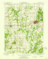
1942 · Shelbyville
USGS Topo · 1:62,500
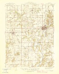
1946 · Shelbyville
USGS Topo · 1:62,500
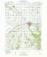
1947 · Pana
USGS Topo · 1:62,500
1949 · Dalton City
USGS Topo · 1:62,500
1949 · Pana
USGS Topo · 1:62,500
1952 · Assumption
USGS Topo · 1:62,500
1958 · Decatur
USGS Topo · 1:250,000
1961 · Decatur
USGS Topo · 1:250,000
1981 · Shelbyville
USGS Topo · 1:24,000
1981 · Tower Hill
USGS Topo · 1:24,000