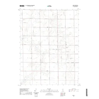
2021 Map of Obed
USGS Topo · Published 2021About this map
Pleak, Obed, and Yantisville anchor this section of Shelby County, where a dense network of township roads connects rural farmsteads and historic burial grounds. The landscape is defined by the subtle drainage of the Flat Br and Sorghum Br as they feed toward the southern Lake Fork. This map is particularly notable for its high concentration of localized cemeteries, including Masonic Cem, Ludwig Cem, and Locust Grove Cem, which suggest long-established family ties and early community centers in this part of Illinois. The grid-like arrangement of roads such as 2600 N Shelby Co and Co Hwy 42 illustrates the methodical settlement of the prairie, while the presence of Bethany Cem and Mount Pleasant Cem provides specific points of interest for genealogists tracing ancestors in the region near Wilborn Cr.
Find a feature on this map
70 named features on this map. Tap any name to fly to it.
Don’t see what you’re looking for? This feature index may not catch every label — zoom into the map to look around manually.
Map Details
Editions of this 2021 Obed Map
This is the sole edition of this map. No revisions or reprints were ever made.
Other maps of this area

1942 · Shelbyville
USGS Topo · 1:62,500

1946 · Shelbyville
USGS Topo · 1:62,500

1947 · Pana
USGS Topo · 1:62,500

1949 · Dalton City
USGS Topo · 1:62,500

1949 · Pana
USGS Topo · 1:62,500

1952 · Assumption
USGS Topo · 1:62,500

1958 · Decatur
USGS Topo · 1:250,000

1961 · Decatur
USGS Topo · 1:250,000
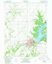
1981 · Shelbyville
USGS Topo · 1:24,000
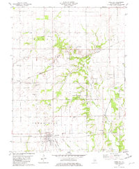
1981 · Tower Hill
USGS Topo · 1:24,000