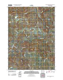
2011 Map of Obenchain Mountain
USGS Topo · Published 2011About this map
Obenchain Mountain and the surrounding high ground of Jackson County dominate this landscape, where the Butte Falls Hwy serves as a primary artery through the southern foothills. The presence of Derby School near the intersection of Derby Rd and Neil Creek indicates the localized centers of community life in this part of Oregon. Much of the terrain is defined by its water management and diverse topography, from the Indian Lake Reservoir in the northwest to the engineered path of the Eagle Point Irrigation Canal cutting across the central hills. Distinctive local landmarks like Joe Dyer Butte, Bear Gulch, and Sugar Pine Flat provide a clear view of the named terrain features that have long guided residents. The network of drainage, including Crowfoot Creek and McNeil Creek, highlights the complex watershed that shapes the region's agricultural and forest land use patterns.
Find a feature on this map
37 named features on this map. Tap any name to fly to it.
Don’t see what you’re looking for? This feature index may not catch every label — zoom into the map to look around manually.
Map Details
Editions of this 2011 Obenchain Mountain Map
This is the sole edition of this map. No revisions or reprints were ever made.
Other maps of this area
1891 · Ashland
USGS Topo · 1:250,000
1893 · Ashland
USGS Topo · 1:250,000
1897 · Ashland
USGS Topo · 1:250,000
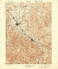
1938 · Medford
USGS Topo · 1:125,000
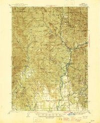
1943 · Trail
USGS Topo · 1:62,500
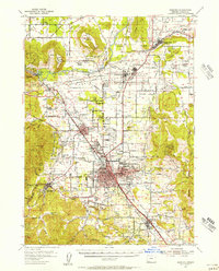
1954 · Medford
USGS Topo · 1:62,500
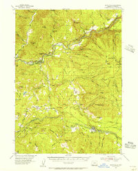
1954 · Butte Falls
USGS Topo · 1:62,500
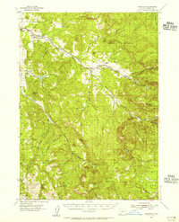
1954 · Lakecreek
USGS Topo · 1:62,500

1955 · Medford
USGS Topo · 1:250,000
1957 · Medford
USGS Topo · 1:250,000