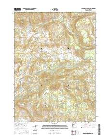
2014 Map of Obenchain Mountain
USGS Topo · Published 2014About this map
Obenchain Mountain serves as a prominent landmark in this section of Jackson County, overlooking a landscape where water management and ranching have long shaped the terrain. Significant infrastructure, including the Eagle Point Irrigation Canal and the Medford Aqueduct, winds through the foothills, indicating the complex engineering required to support the region's agriculture. The presence of Mucky Flat Airport and the Mucky Flat settlement provides a look into the localized aviation and ranching history of the area during the early 21st century. Named summits like Joe Dyer Butte, Geppert Butte, and Cedar Buttes dot the horizon, while drainage systems such as Crowfoot Cr and Big Butte Creek define the natural watersheds. This survey preserves the placement of private ranch roads like Dayspring DR and the extensive BLM road network, which provide access to the timber and grazing lands that dominate the surrounding peaks.
Find a feature on this map
52 named features on this map. Tap any name to fly to it.
Don’t see what you’re looking for? This feature index may not catch every label — zoom into the map to look around manually.
Map Details
Editions of this 2014 Obenchain Mountain Map
This is the sole edition of this map. No revisions or reprints were ever made.
Other maps of this area
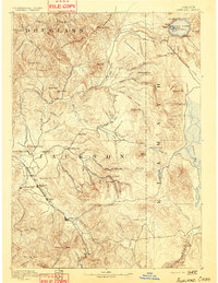
1891 · Ashland
USGS Topo · 1:250,000
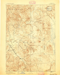
1893 · Ashland
USGS Topo · 1:250,000
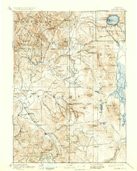
1897 · Ashland
USGS Topo · 1:250,000
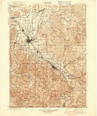
1938 · Medford
USGS Topo · 1:125,000
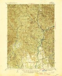
1943 · Trail
USGS Topo · 1:62,500
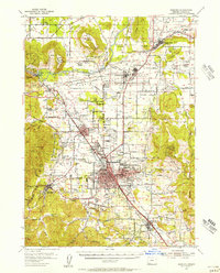
1954 · Medford
USGS Topo · 1:62,500
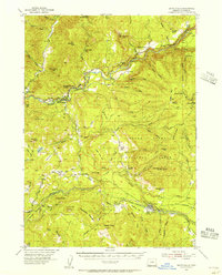
1954 · Butte Falls
USGS Topo · 1:62,500
1954 · Lakecreek
USGS Topo · 1:62,500

1955 · Medford
USGS Topo · 1:250,000
1957 · Medford
USGS Topo · 1:250,000