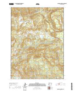
2020 Map of Obenchain Mountain
USGS Topo · Published 2020About this map
Obenchain Mountain and the surrounding Jackson County highlands are defined by a complex network of water management and distinct volcanic topography. The landscape is marked by numerous flat-topped features and buttes, such as Joe Dyer Butte, Round Top, and Cedar Buttes, interspersed with broad areas like Mucky Flat and Sugar Pine Flat. The Mucky Flat Airport provides a small aviation footprint in this otherwise sparsely populated timber and ranching region.
Find a feature on this map
43 named features on this map. Tap any name to fly to it.
Don’t see what you’re looking for? This feature index may not catch every label — zoom into the map to look around manually.
Map Details
Editions of this 2020 Obenchain Mountain Map
This is the sole edition of this map. No revisions or reprints were ever made.
Other maps of this area

1891 · Ashland
USGS Topo · 1:250,000

1893 · Ashland
USGS Topo · 1:250,000

1897 · Ashland
USGS Topo · 1:250,000

1938 · Medford
USGS Topo · 1:125,000

1943 · Trail
USGS Topo · 1:62,500

1954 · Medford
USGS Topo · 1:62,500

1954 · Butte Falls
USGS Topo · 1:62,500

1954 · Lakecreek
USGS Topo · 1:62,500

1955 · Medford
USGS Topo · 1:250,000

1957 · Medford
USGS Topo · 1:250,000