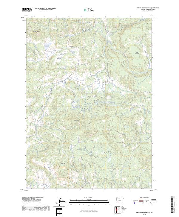
2023 Map of Obenchain Mountain
USGS Topo · Published 2023About this map
Mucky Flat sits at the heart of this Jackson County landscape, characterized by a complex network of water management and high-elevation terrain. The presence of the Medford Aqueduct and the Eagle Point Irrigation Canal underscores the vital role of water infrastructure in supporting the regional economy and local agriculture. To the north, the small Mucky Flat Airport provides a remote point of access near Indian Lake Reservoir, while numerous high points such as Joe Dyer Butte, Obenchain Mtn, and Round Top define the topographic character of the area.
Find a feature on this map
44 named features on this map. Tap any name to fly to it.
Don’t see what you’re looking for? This feature index may not catch every label — zoom into the map to look around manually.
Map Details
Editions of this 2023 Obenchain Mountain Map
This is the sole edition of this map. No revisions or reprints were ever made.
Other maps of this area

1891 · Ashland
USGS Topo · 1:250,000

1893 · Ashland
USGS Topo · 1:250,000

1897 · Ashland
USGS Topo · 1:250,000

1938 · Medford
USGS Topo · 1:125,000

1943 · Trail
USGS Topo · 1:62,500

1954 · Medford
USGS Topo · 1:62,500

1954 · Butte Falls
USGS Topo · 1:62,500

1954 · Lakecreek
USGS Topo · 1:62,500

1955 · Medford
USGS Topo · 1:250,000

1957 · Medford
USGS Topo · 1:250,000