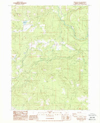
1988 Map of Obenchain Mtn
USGS Topo · Published 1988About this map
Derby and the surrounding Jackson County timberlands are defined by the legacy of early 20th-century transportation and water management. The infrastructure of the Medford Old RR Grade (also labeled as the Old Railroad Grade) wind through the valley, marking the historical path of the Pacific and Eastern Railway which once served the region's logging industry. Near the former community of Derby, researchers will find the noted Derby Station (Site), along with scattered Ruins that hint at early homesteads or logging camps.
Find a feature on this map
36 named features on this map. Tap any name to fly to it.
Don’t see what you’re looking for? This feature index may not catch every label — zoom into the map to look around manually.
Map Details
Editions of this 1988 Obenchain Mtn Map
This is the sole edition of this map. No revisions or reprints were ever made.
Other maps of this area

1891 · Ashland
USGS Topo · 1:250,000

1893 · Ashland
USGS Topo · 1:250,000

1897 · Ashland
USGS Topo · 1:250,000

1938 · Medford
USGS Topo · 1:125,000

1943 · Trail
USGS Topo · 1:62,500

1954 · Medford
USGS Topo · 1:62,500

1954 · Butte Falls
USGS Topo · 1:62,500

1954 · Lakecreek
USGS Topo · 1:62,500

1955 · Medford
USGS Topo · 1:250,000

1957 · Medford
USGS Topo · 1:250,000