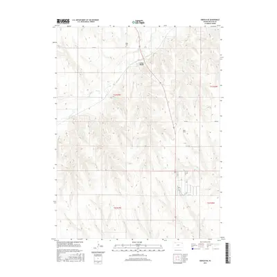
2015 Map of Oberlin NE
USGS Topo · Published 2015About this map
Cedar Bluffs serves as the primary focal point of this Decatur County landscape, situated along the upper reaches of Beaver Cr. The terrain is defined by a series of distinct drainages and ridges, including the prominent Rock Draw, which carve through the high plains topography. This 2015 survey illustrates a rural settlement pattern deeply tied to the land, where section lines and local routes like Co Rd 471 and Rd 9 N organize the agricultural territory. Genealogists and local historians will find value in the precise location of the Cedar Bluffs Cem, positioned north of the settlement. The map provides a clear view of the township and range system, marking boundaries for t1s r29w, t1s r28w, and t2s r29w, which continue to dictate the modern property and road network of this Northwest Kansas region.
Find a feature on this map
13 named features on this map. Tap any name to fly to it.
Don’t see what you’re looking for? This feature index may not catch every label — zoom into the map to look around manually.
Map Details
Editions of this 2015 Oberlin NE Map
This is the sole edition of this map. No revisions or reprints were ever made.
Other maps of this area

1951 · Oberlin
USGS Topo · 1:62,500

1951 · Kanona
USGS Topo · 1:62,500

1954 · McCook
USGS Topo · 1:250,000

1954 · Goodland
USGS Topo · 1:250,000

1956 · Goodland
USGS Topo · 1:250,000

1957 · McCook
USGS Topo · 1:250,000

1957 · Goodland
USGS Topo · 1:250,000

1957 · McCook SW
USGS Topo · 1:24,000

1957 · Danbury
USGS Topo · 1:24,000

1957 · McCook SE
USGS Topo · 1:24,000