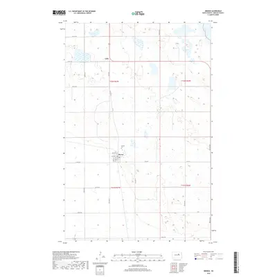
2018 Map of Oberon
USGS Topo · Published 2018About this map
The prairie landscape of Benson County unfolds across this 2018 survey, centered on the historic settlement of Oberon. This community serves as a local hub for the surrounding agricultural tracts, with its grid defined by Main Ave, Martin St, and Carson St. Just north of the town center lies the Hillside Cem, a significant site for genealogical research in the area.
Find a feature on this map
29 named features on this map. Tap any name to fly to it.
Don’t see what you’re looking for? This feature index may not catch every label — zoom into the map to look around manually.
Map Details
Editions of this 2018 Oberon Map
This is the sole edition of this map. No revisions or reprints were ever made.
Other maps of this area
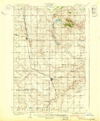
1931 · Oberon
USGS Topo · 1:62,500
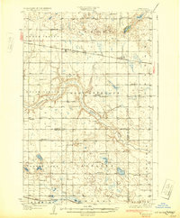
1932 · Flora
USGS Topo · 1:62,500
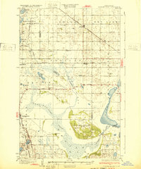
1932 · Grahams Island
USGS Topo · 1:62,500
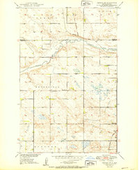
1950 · Oberon SW
USGS Topo · 1:24,000
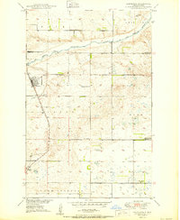
1950 · Sheyenne
USGS Topo · 1:24,000
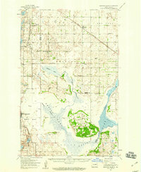
1950 · Grahams Island
USGS Topo · 1:62,500
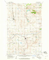
1950 · Oberon
USGS Topo · 1:62,500
1951 · Crow Hill
USGS Topo · 1:24,000
1951 · Oberon
USGS Topo · 1:24,000
1951 · Flora SE
USGS Topo · 1:24,000