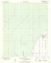
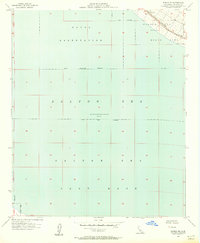
1956 Map of Obsidian Butte
USGS Topo · Published 1957About this map
Obsidian Butte rises above the southeastern shore of the Salton Sea in this 1950s survey of the Imperial Valley. This volcanic landmark stands as a distinct geological feature within the surrounding Salton Sea National Wildlife Refuge, which spans much of the quadrangle. The map captures a specialized landscape defined by complex water management, featuring a dense network of agricultural infrastructure such as Vail Cut Off Drain, Lateral 6, and Lateral 5.
Find a feature on this map
18 named features on this map. Tap any name to fly to it.
Don’t see what you’re looking for? This feature index may not catch every label — zoom into the map to look around manually.
Map Details
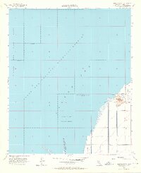
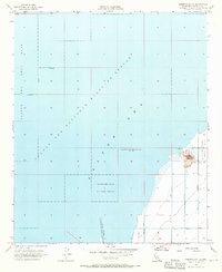
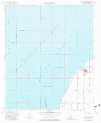
Editions of this 1956 Obsidian Butte Map
4 editions found
Other maps of this area

1940 · Kane Spring
USGS Topo · 1:62,500

1940 · Frink
USGS Topo · 1:62,500

1940 · Durmid
USGS Topo · 1:62,500

1944 · Durmid
USGS Topo · 1:62,500

1944 · Kane Spring
USGS Topo · 1:62,500

1944 · Calipatria
USGS Topo · 1:62,500

1944 · Frink
USGS Topo · 1:62,500

1954 · Salton Sea
USGS Topo · 1:250,000

1955 · Salton Sea
USGS Topo · 1:250,000
1956 · Durmid SE
USGS Topo · 1:24,000